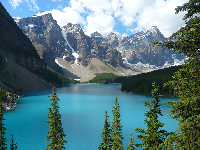
Today's program was to drive the Icefields Parkway to Jasper national
park and camp there for the next two days. The morning was cloudy and
I did not get up for sunrise. The Icefields parkway which stretches
between Lake Louise and Jasper Townsite for 200km is a continuous
visual treat. The Canadian parks boast of it as the most scenic
highway in the world.
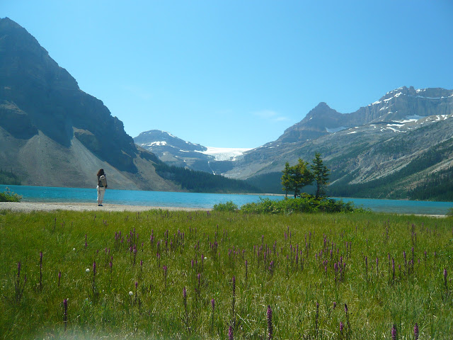 |
| Bow Lake and Bow Glacier |
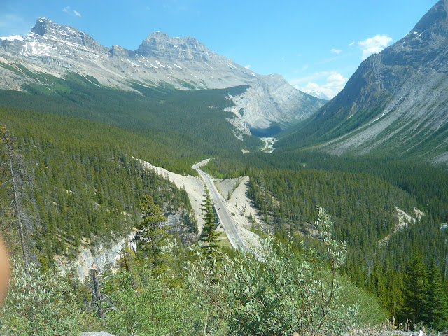 |
| Icefield Parkway Near Sunwapta Pass |
Crowfoot Glacier and Bow Lake: Crowfoot glacier is the first glacier
which can be seen close-up from the highway and hence attracts hoards
of tourists. Bow lake is the origin of the Bow river and it sits at
the foot of the Bow glacier. A pretty lodge called Num-Ti-Jah is
located right on the shore.
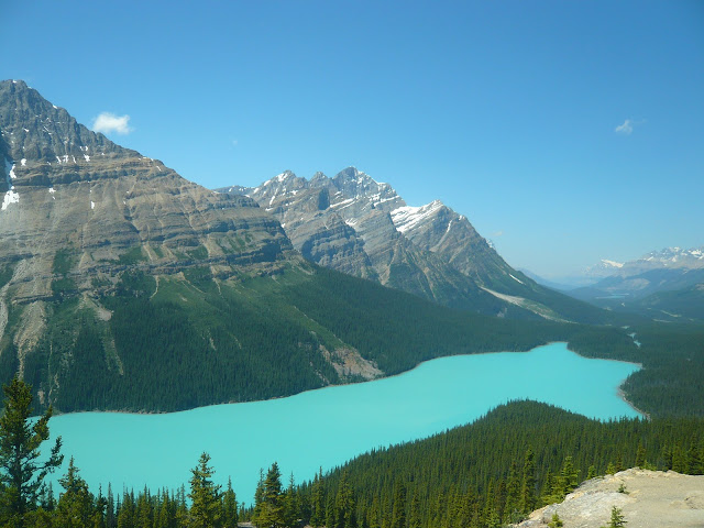 |
| Peyto Lake |
Canadian Rockies. In midday sun, it looks a gorgeous shade of opaque
green and as a bonus its shape reminds one of a bear's head. A 10 min
trail leads to the viewpoint from the parking lot. The viewpoint was
naturally crowded with tourists and everybody had to take turns in
taking pictures.
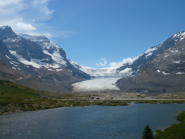 |
| Athabasca Glacier |
over Sunwapta pass and enters Jasper national park. Soon the
Athabasca glacier comes into view whose toe lies very close to the
road. A short trail takes one to within a stone's throw of the
glacier. For safety reasons, the park service prohibits one from
going onto the glacier unless one is with a guided tour.
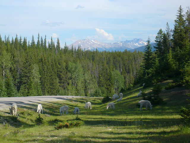 |
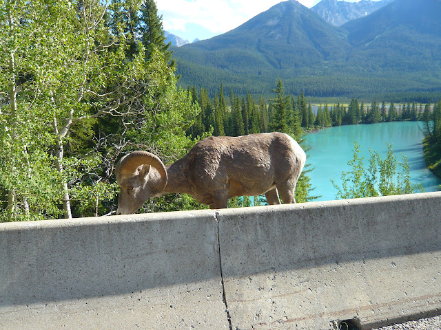
| Mountain Goats |
it and hence is frequented by herds of mountain goats to get salt.
Hence goats and glaciers.
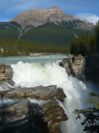 |
| Athabasca Falls |
and follows the road to Jasper. The Athabasca falls are not very
high, but the key attraction here is the volume of water on the falls.
Once we reached Jasper, we checked into Wapiti campground. With 364 sites, the Wapiti is a "smaller" campground compared to its neighbor Whistlers which has 781 sites. The Parks Canada campgrounds are positively luxurious with hot showers and poer outlets to charge your cell phone/digital camera. Only downside is their cost and the fact that even to start a fire, you have to pay extra. Our campsite was a nice site right next to that Athabasca river. We cooked dinner and went to sleep early.
Chiranjeeb