TrWednesday: July 28th
It rained in the night. This was becoming a fixture of our camping
trips. As soon as we go camping, the rain gods decide to pour some
libations. Good news was that the rain was light and all it did was
to wet the ground. The morning was cloudy and hence I did not get out
for sunrise either.
 |
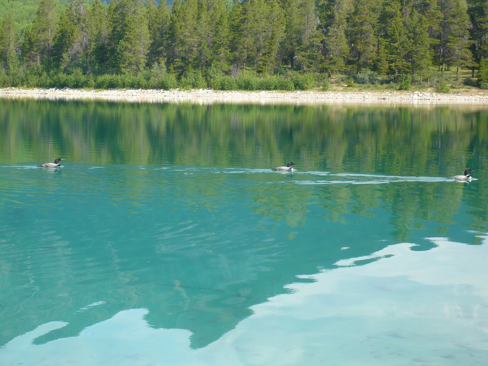
| Loons in Patricia Lake |
Patricia and Pyramid Lakes: These two pretty lakes next to the Jasper
townsite sit at the bottom of Pyramid peak. There are a couple of
pretty resorts next to the shore and the lakes form a peaceful place
to spend time.
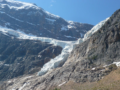 |
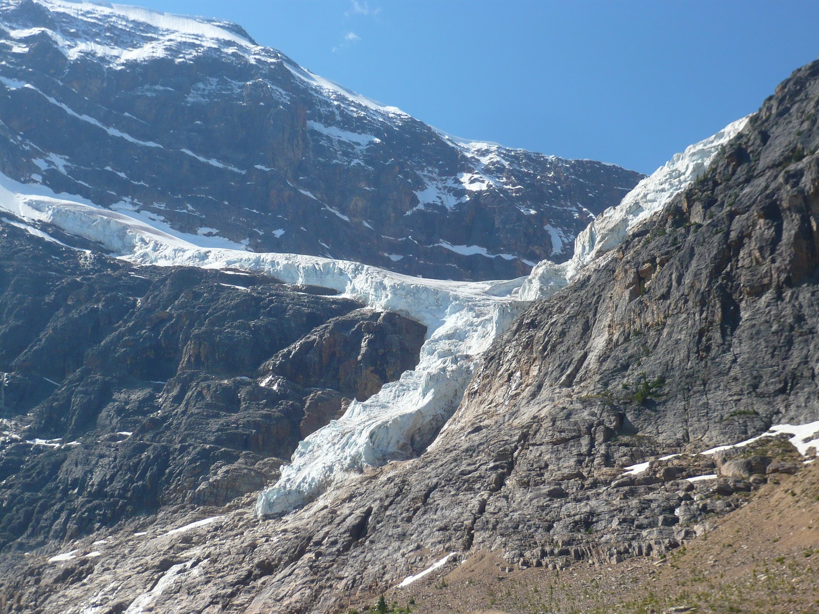
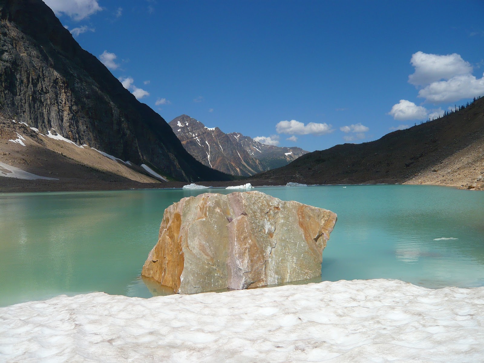
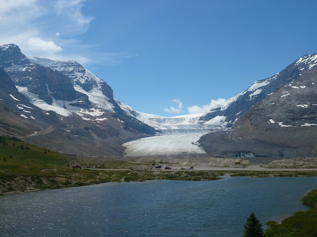
| Angel Glacier on Mt Edith Cavell |
 |
| Cavell Pond |
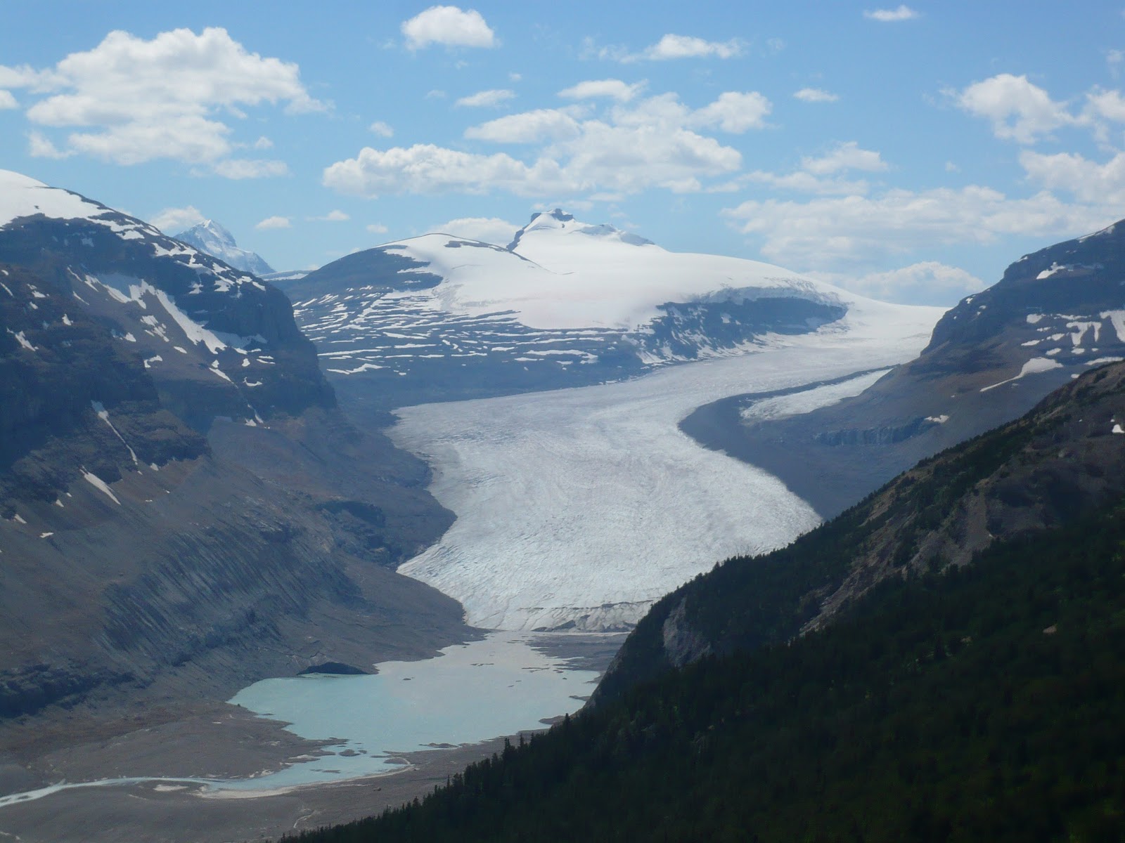
Mount Edith Cavell: Mount Edith Cavell is one of the icons of Jasper,
but it is very hard to photograph. You can drive right to the bottom
of the steep north-east face of the mountain where two glaciers (Angel
and Cavell) tumble down to a glacial lake with chunks of glacial ice
floating on it. When we got there, the late morning sun was not very
conducive to photographing the mountain itself. Moreover the mountain
was so big that unless you had a 14mm lens, you could never hope to
fill it all in the frame. We took the short trial to the glacial lake
and hiked around it all the way to the Cavell glacier.
Maligne Canyon: Maligne lake is one of the biggest lakes in Jasper and
the road that leads to it is well known for wildlife. Our drive to
Maligne lake started with a sight of a bull elk right next to the road
in Jasper. The first attraction on the road was Maligne canyon which
was very similar to Marble canyon in Kootenay except that it was
deeper.
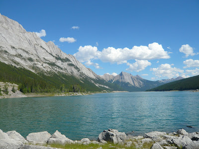 |
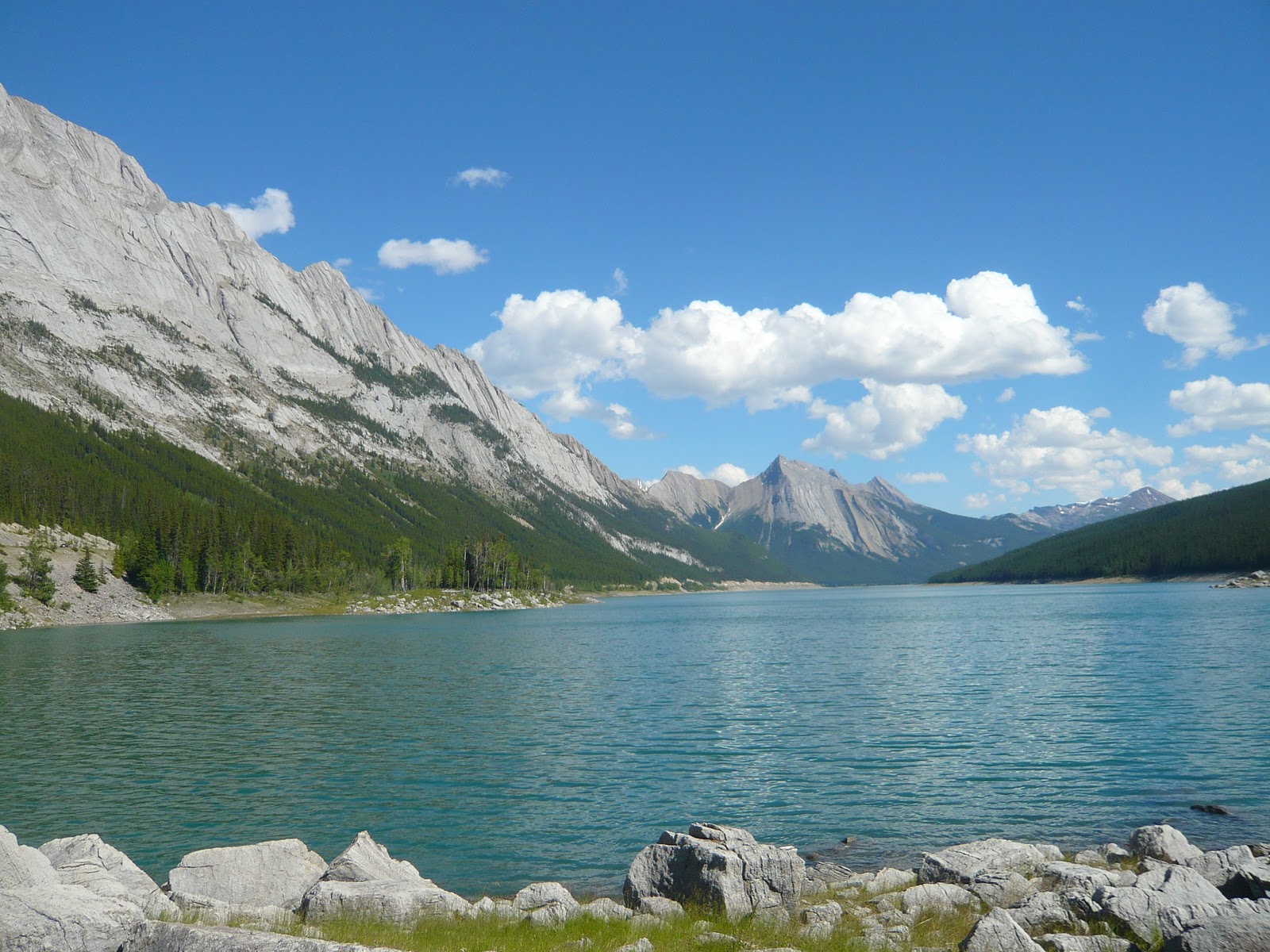
| Medicine Lake |
Medicine Lake: Next up is the Medicine lake which is a deep blue lake
surrounded by bright white mountain sides. Medicine lake is unusual
in that it disappears in winter when waterflow in the Maligne river
slows. The lake bed is porous limestone and the entire river flows
underground when the flow is low. Native Indians thought that this
behavior was associated with evil spirits with "Bad Medicine" which
gives the beautiful lake its name. On the shore of the lake, we saw a
couple of Big Horn sheep.
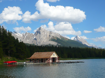 |
| Maligne Lake Boathouse |
Maligne Lake: This lake is a major tourist attraction, but it did not
inspire me photographically much. Perhaps better light, better
weather was needed.
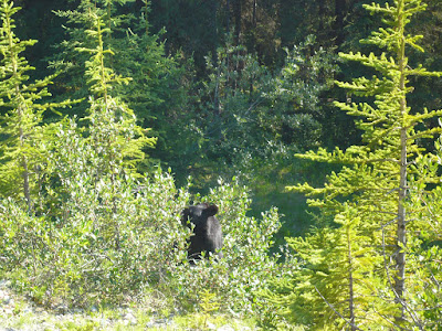 |
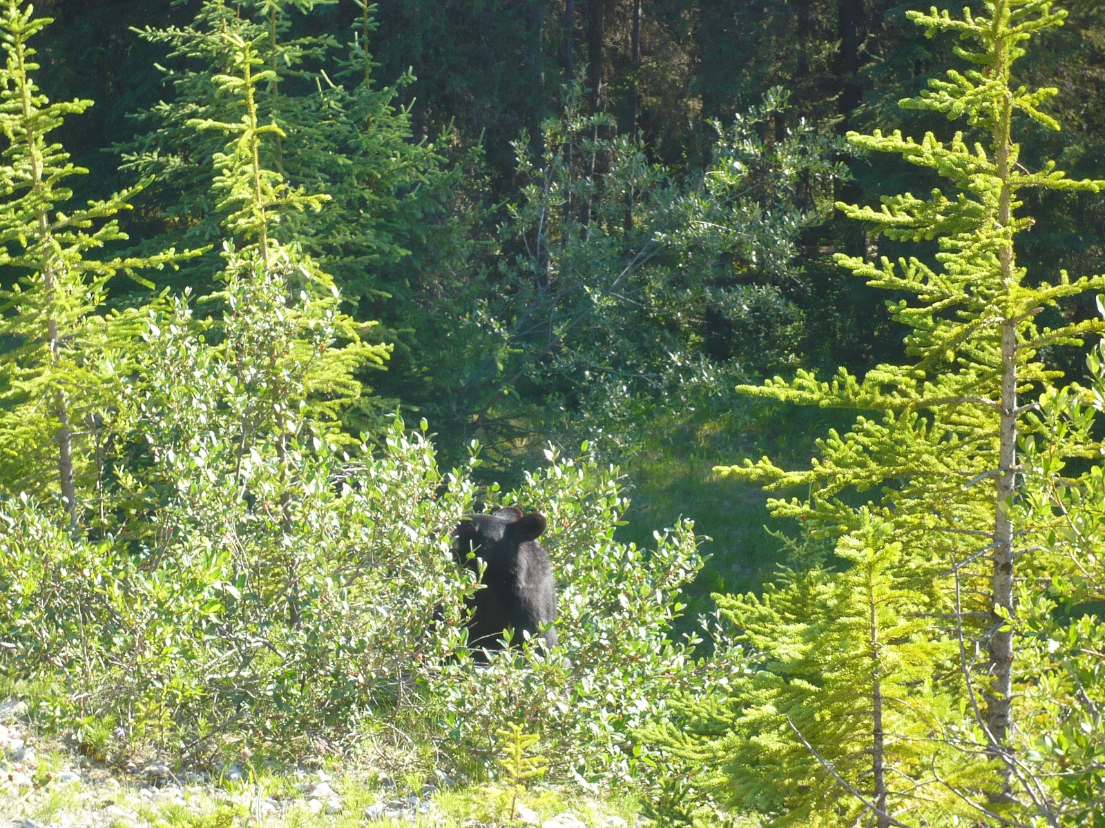
| Bear on Maligne Lake Road |
As it was becoming evening, we turned back. On the way back, we saw a
bunch of cars parked next to the road and we pulled over too.
Everybody was frantically taking pictures of a bear which was busy
with a bushful of berries and paying no heed to us gawking tourists.
We aw more wildlife as we drove back: a herd of elks next to Medicine
lake, another bear on the road side and finally more elk near Jasper
townsite.
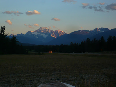 |
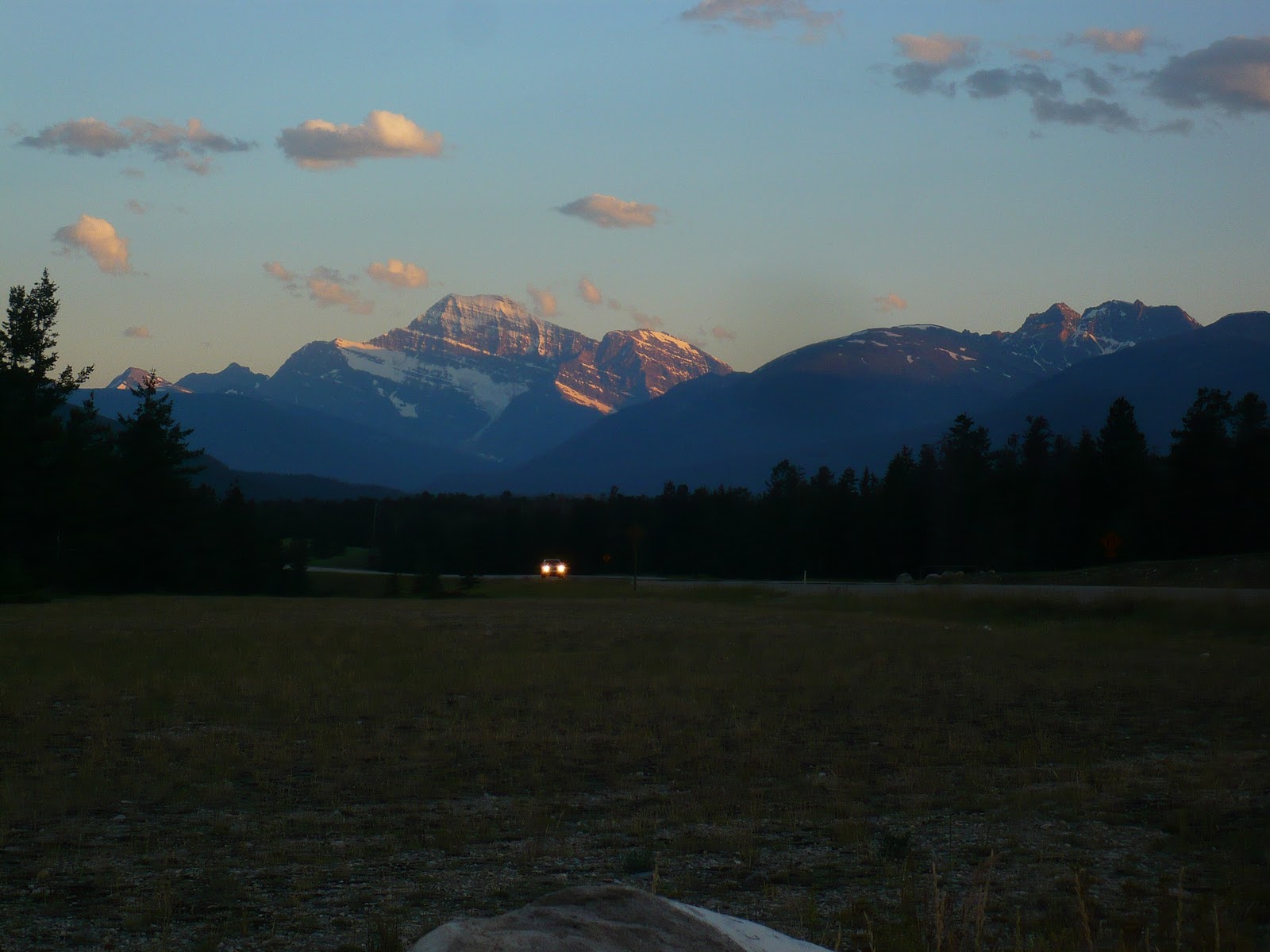
| Mt Edith Cavell At Sunset |
In the evening, we decided to photgraph the evening alpenglow on the
mountains next to Jasper. The light was decent, but not spectacular.
Chiranjeeb